Disclaimer:
Please be aware that reality and fiction are purposely intertwined on this website and that no efforts are made to clearly define their boundaries. Click here to learn more.
To remove this note, please sign up and log in.
Spiekeroog – A Tour of The Island (part 1)

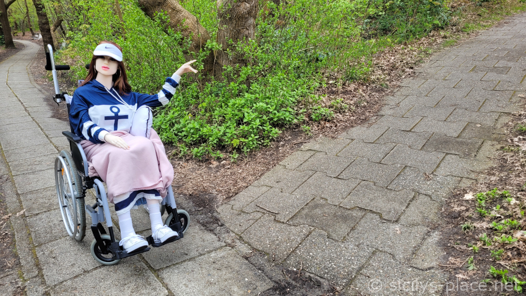
Goodness…! 😯
It has been a month since we returned from Spiekeroog and I have not yet published a report about our stay on the island.
The day after our rail, bus and ferry trip to what Harry refers to as the most beautiful island in the world, we started a nice scenic round trip through and out of the village.
To find out where the island of Spiekeroog is located, please consult Google Maps.
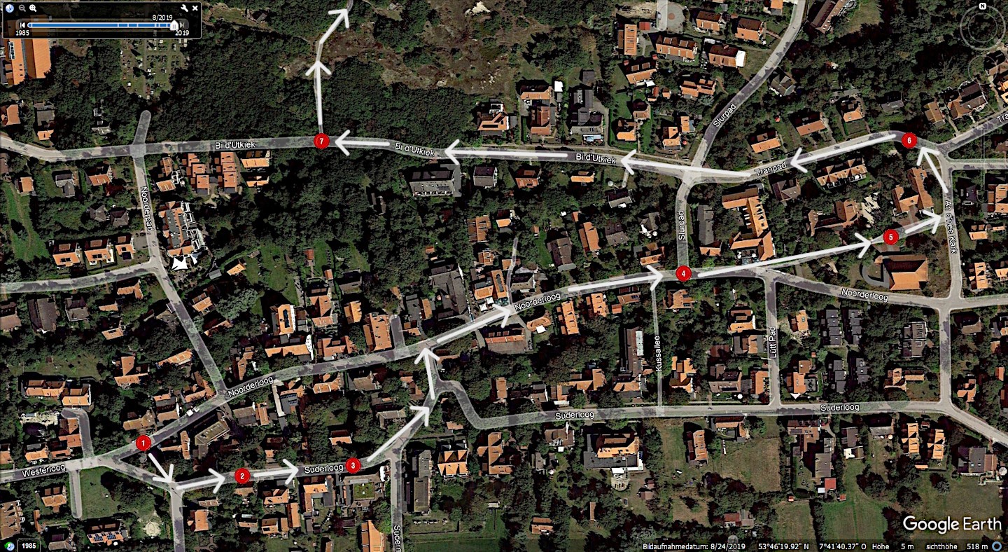
From here forth, please click on the text links to view photos from our stops. The “red spot” links will show you a map outlining our route and numbered red spots showing our stops.
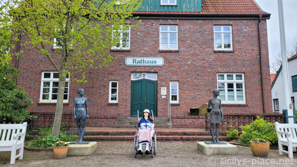
The tour begins at the town hall, seat of Spiekeroog’s municipal administration. On the forecourt, there is a nice pavilion where one can wait out the rain if necessary (red spot 1).
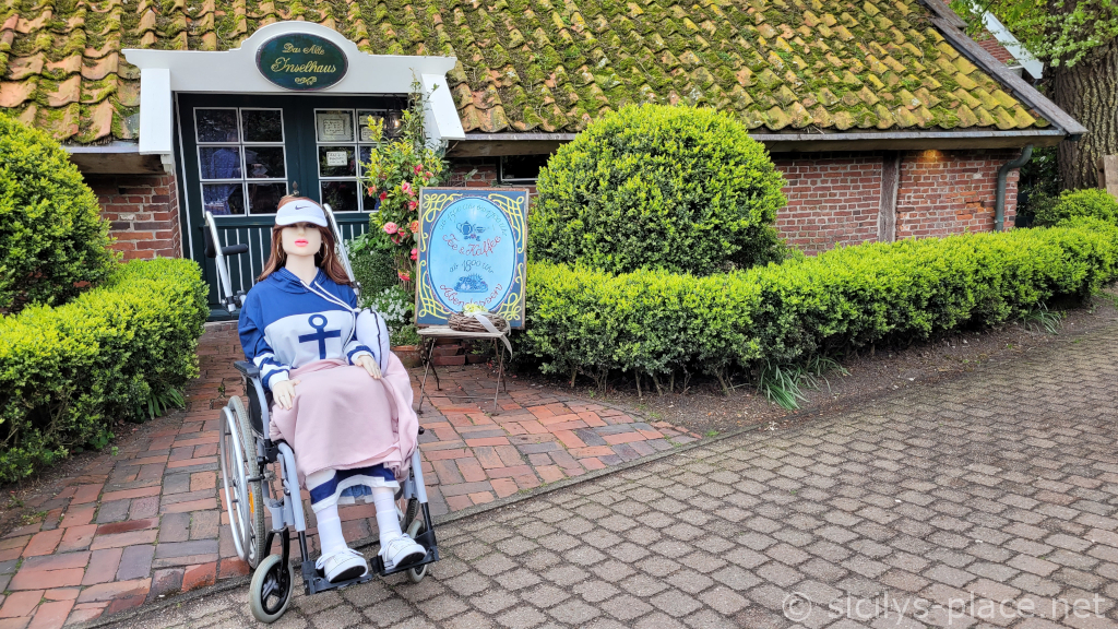
We cross the forecourt past the pavilion and reach one of Spiekeroog’s two main streets, Süderloog. On the right-hand side, at number 4, we see the “Alte Inselhaus” (Old Island House). Built in 1705, it is Spiekeroog’s oldest surviving house, equipped with a floating roof which once served as a life raft during storm tides (red spot 2).
We are in the oldest part of the village. On the left-hand side we see the “Alte Inselkirche” (Old Island Church). Originally built in 1696, it is the oldest church on the East Frisian Islands (red spot 3).
Inside is a Pietà which may have come from a Spanish Armada ship that ran aground off Spiekeroog in 1588. Sadly, the church is so narrow that going in there with my wheelie was not an option.
The church is surrounded by the former village cemetery with old gravestones.
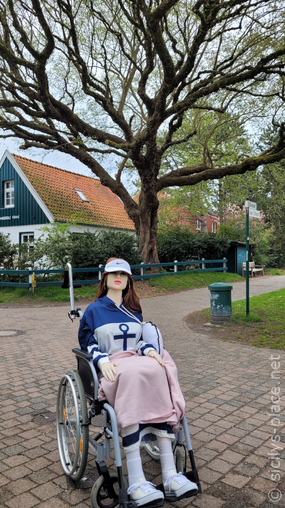
We continue along Süderloog, past the Irish pub, and then turn right onto Noorderloog. One of Spiekeroog’s oldest elm trees stands at the crossroads to Slurpad (red spot 4).
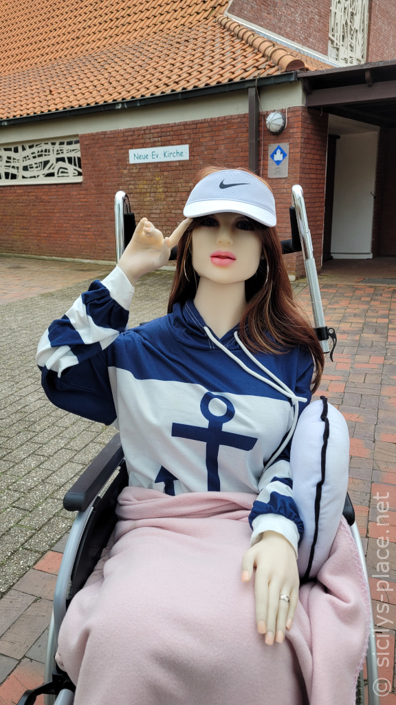
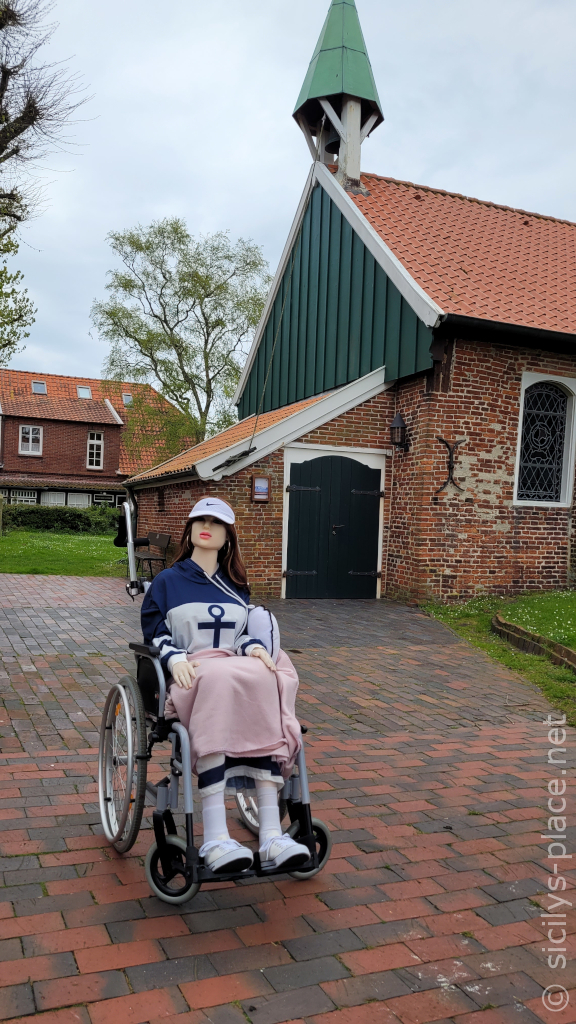
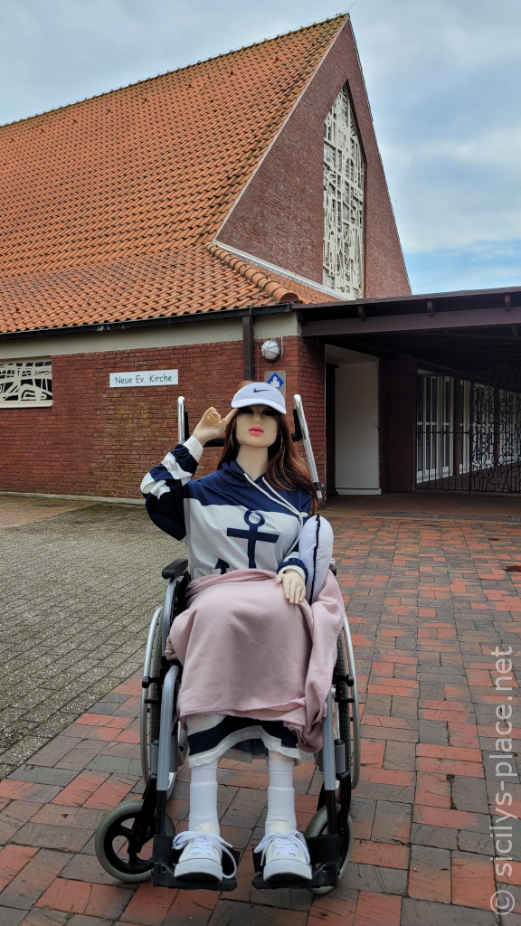
The Noorderloog leads us past the kindergarten “Lütt Insulaners” (Low German: Little Islanders) to the “Neue Evangelische Kirche” (New Protestant Church) which was built in 1960 (red spot 5).
I guess it’s not much of a secret that I don’t think too highly about religion and the concept of an almighty deity, hence the gesture.
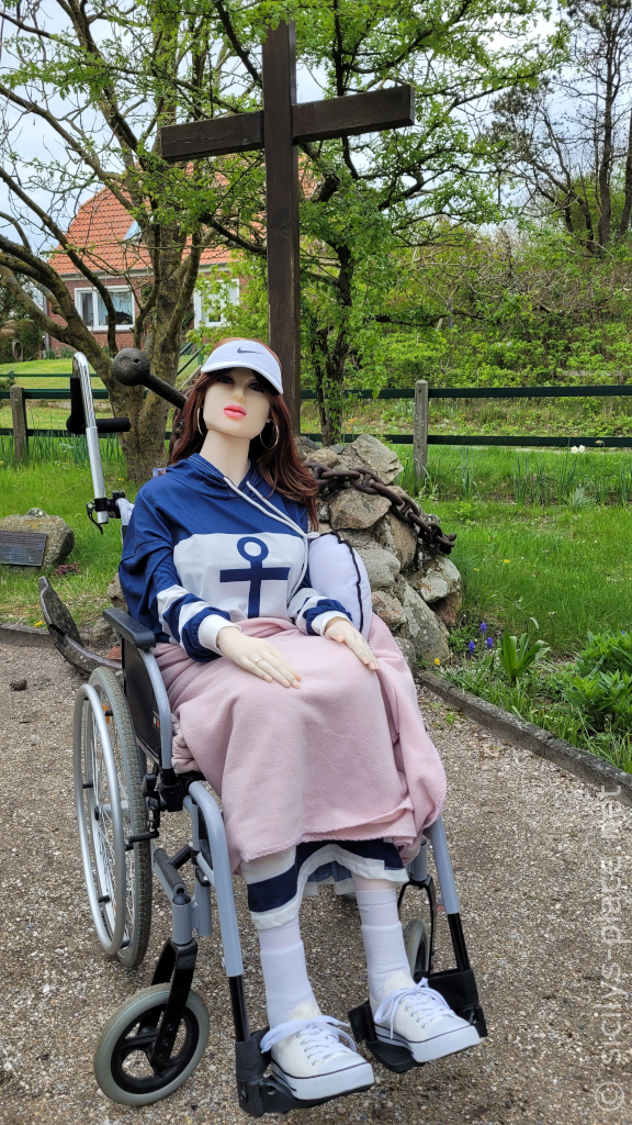
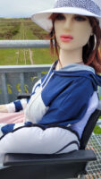
We follow the street “An d’nee Kark” (Low German: at the church) to the left towards the Transpad. At the end of this path we see a large cross with a raised anchor which, unfortunately, is obscured by me – sorry (red spot 6)!
This is the “Drinkeldodenkarkhof” (Low German: cemetary of the drowned). It was established after the three-masted barque “Johanne” had run aground off Spiekeroog in a storm on 6 November 1854. 80 people, who had lost their lives in this incident, were laid to rest at that place.
Following the Transpad and crossing the Slurpad, we reach the street “Bi d’Utkiek” (Low German: at the lookout). Its name indicates where we’re headed. We reach a small wood alongside the street in which we are to follow the path to the right, leading up the dunes (red spot 7).
But as my lovely husband was tired from pushing me around in my wheelie and the way uphill wasn’t going to get any easier, we decided to call it a day and to resume our tour the next day. I will report on this in part 2.


